
One assumes that a map is accurate. There is no reason to alter a map after all. But nothing is straight-forward so unfortunately maps are not accurate. Just watch the following video to see how continents and countries are not what size you think they are. Which do you think is the biggest error?
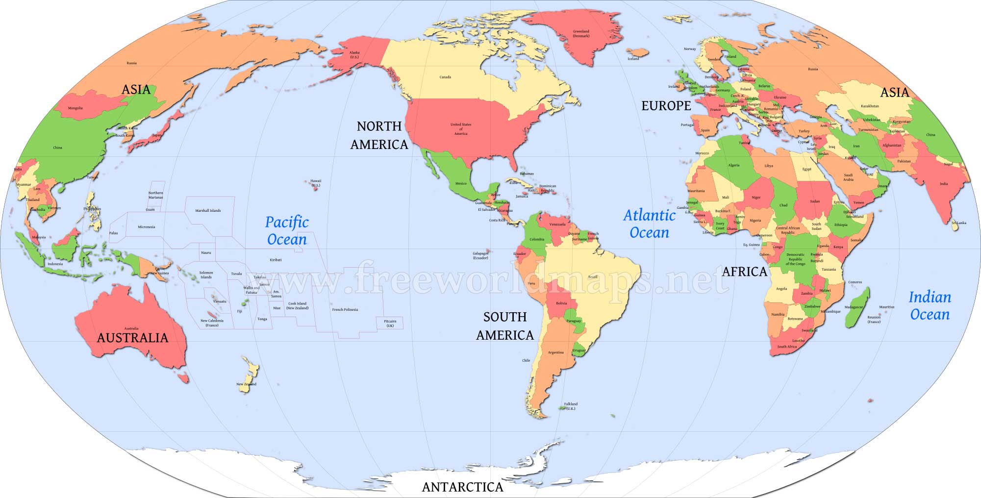
This is the traditional world map.

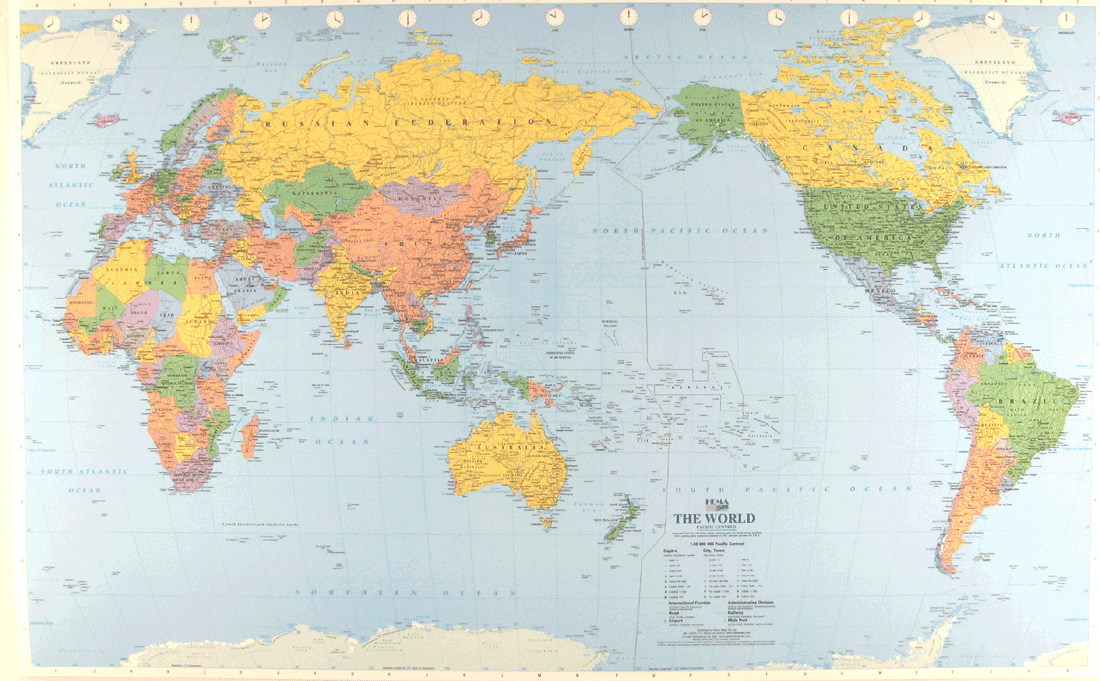
Or is it?
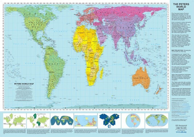
The first map was obviously produced by Europeans. They ‘discovered’ the world when they were building empires from the 15th to the 20th centuries. This may explain why Britain’s size is exaggerated on maps, Europe too. Africa is always far smaller on world maps. Why do you think this is the case?
And finally, ever wondered why so many people speak English?
Do you know the countries of the world? Try the following quiz.